Nature and Heritage
A journey to the roots of Abona
Walking route through the Natural Monument of the Montañas de Ifara y Los Riscos
Walking route through the Natural Monument of the Montañas de Ifara y Los Riscos
Welcome to one of the most distinctive and representative landscapes in southern Tenerife. The Natural Monument of the Montañas de Ifara y Los Riscos is much more than a protected natural area of 288 hectares in Granadilla de Abona; it is a genuine open-air museum.
On this route, which starts at the car park next to exit 52 of the TF-1 motorway, geology, biodiversity and human memory intertwine to tell us the story of a territory where life has always found a way to thrive.
An immersive look at the volcanic landscape, midland flora and heritage of the Ifara and Los Riscos Natural Monument.
Our steps will be guided at all times by the imposing presence of two great landmarks: Montaña de Ifara and Montaña de Los Riscos.
These two cones, formed by volcanic ash (lapilli) tens of thousands of years ago, rise majestically above an extensive ancient field of light-coloured pumice tuffs, what in the Canary Islands we call jable.
Their slopes show reddish, ochre and black tones that contrast with the blue Tenerife sky, crowned by native flora characteristic of this part of the island.

As we walk, we enter an ecosystem that is a true example of adaptation to aridity and constant sunshine, typical of the lower midlands of the Abona region.
The landscape is dotted with plant formations of the highest ecological value. The Tabaibal-Cardonal stands out, with sweet and bitter tabaiba and monumental isolated cardón cacti. Endemic scrubland such as balos, tasaigos and aulagas also thrive here.
This vegetation not only curbs erosion but also provides vital shelter for endemic birds and reptiles of the area.

This arid territory has not been a lonely landscape; it was a place of life, grazing and constant transit for the ancient inhabitants of Tenerife and for more recent generations.
This Natural Monument holds archaeological sites of incalculable value that connect us directly with the ancient Menceyato of Abona. Caves and shelters served both as seasonal dwellings and burial places. Ceramic material and shell mounds also speak of ancestral livestock routes and the deep knowledge the Guanches had to survive in this environment.
But the history of human survival in these lands continued long after the conquest. Along the trail, the landscape reveals the titanic effort of past generations to cultivate thirsty land.
We will see ancient dry-stone walls built by hand, stone by stone, terracing the slopes to retain scarce fertile soil and capture every last drop of rain. We will also find channels and water reservoirs, as well as threshing floors for grain. All of this is the silent testimony of the harsh rain-fed agriculture that sustained Granadilla's families for centuries.
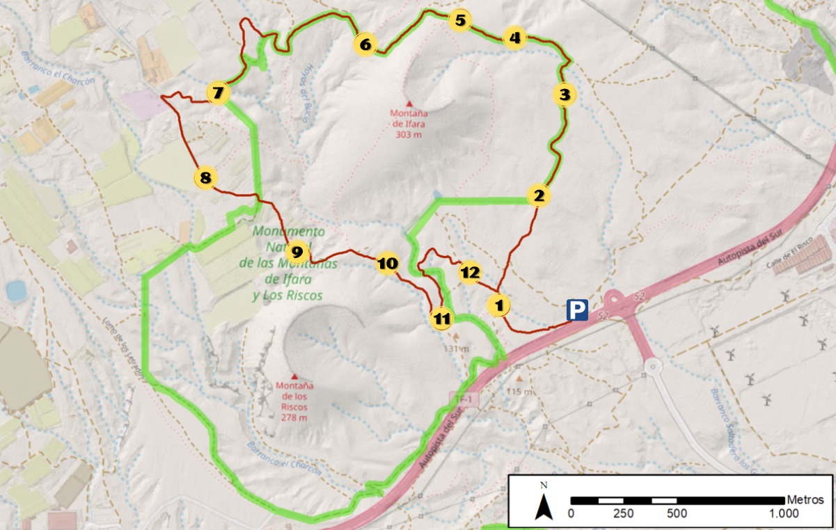
Points of interest along the trail
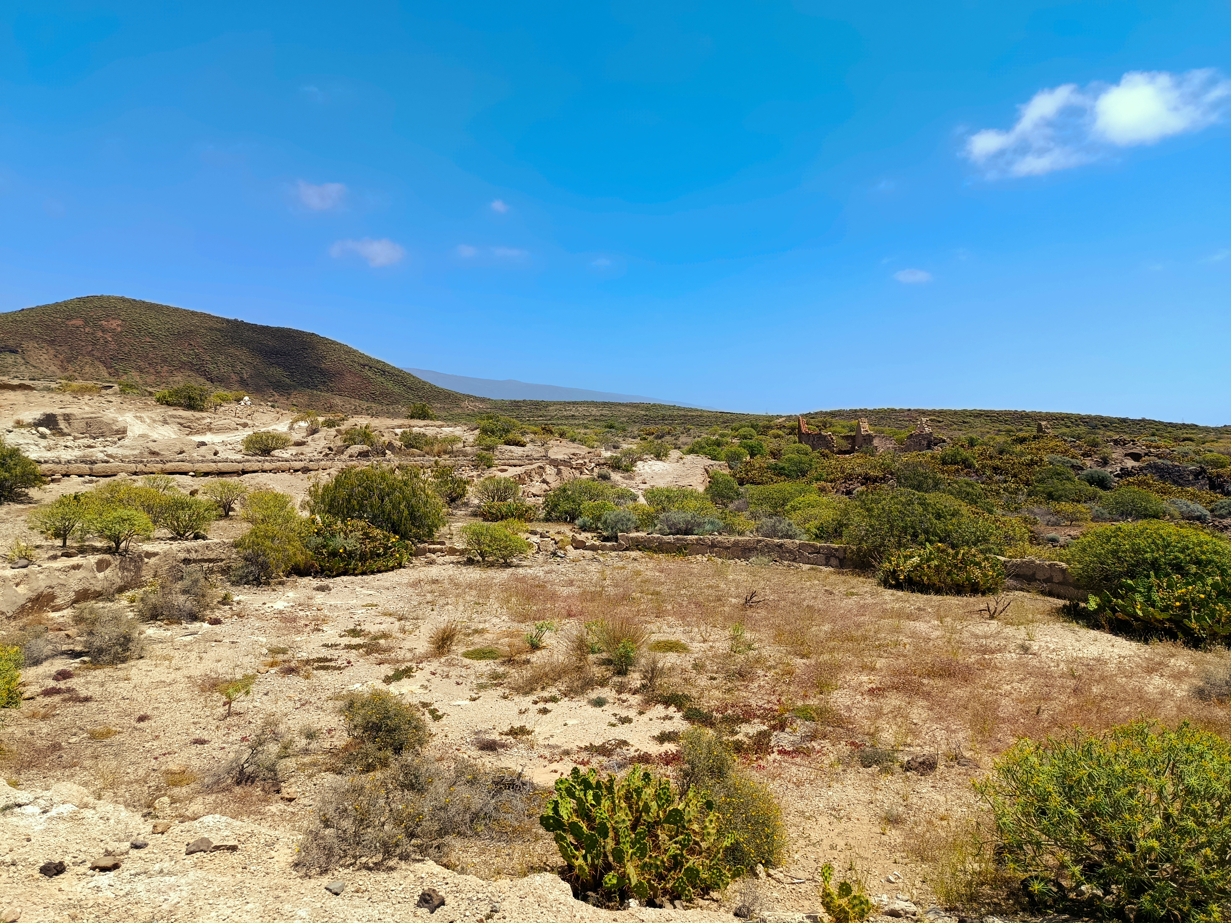
An ancient stone threshing floor rests beside the ruined walls of a traditional building, all crossed by an old tarjea that still reminds us of the effort and agricultural life of times past.
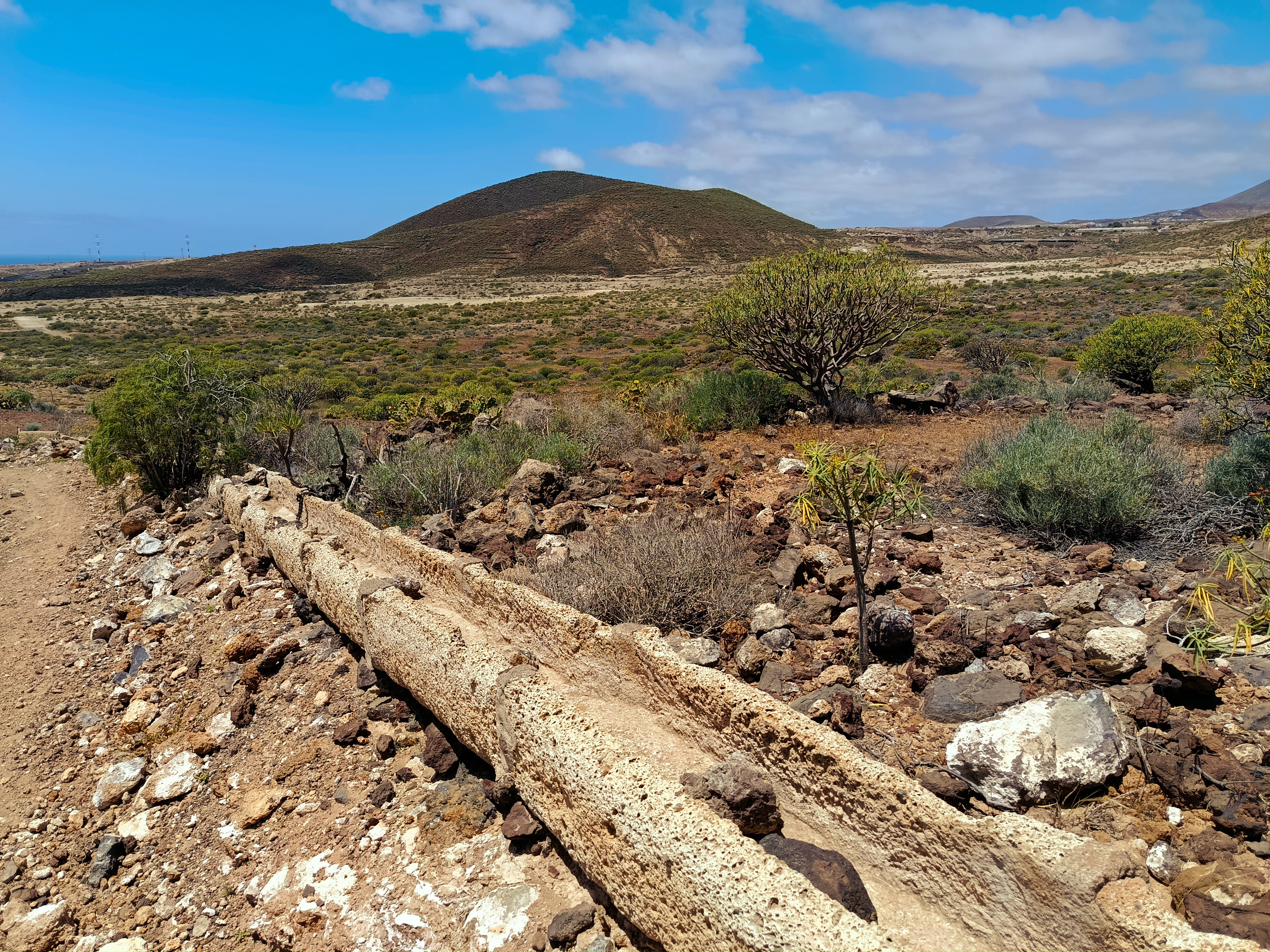
The jable tarjea cuts through the landscape, drawing the ingenuity with which water was once channelled across these dry lands.

A beautiful tabaibal, a corner where these native plants spread over the volcanic soil and bring life to the midlands.

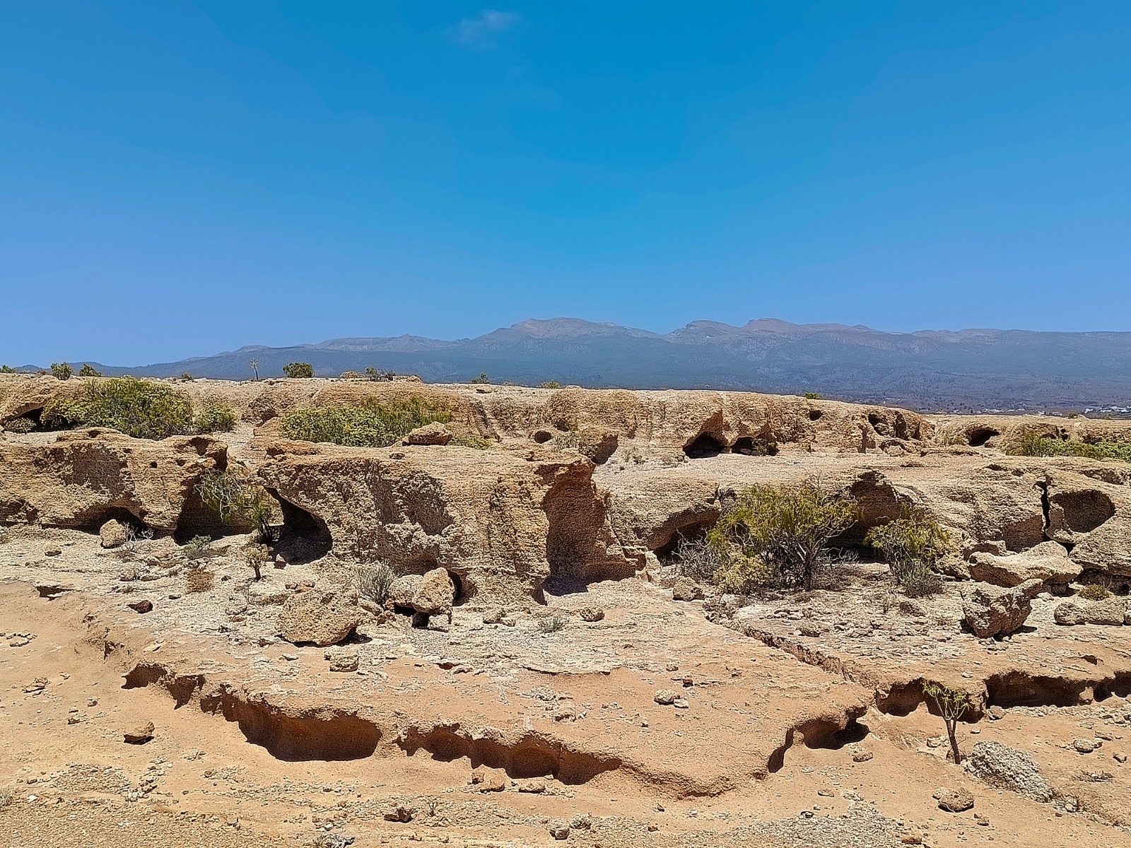
White tuff walls that, after years of being battered by constant wind and sporadic rain, gradually take on whimsical shapes.
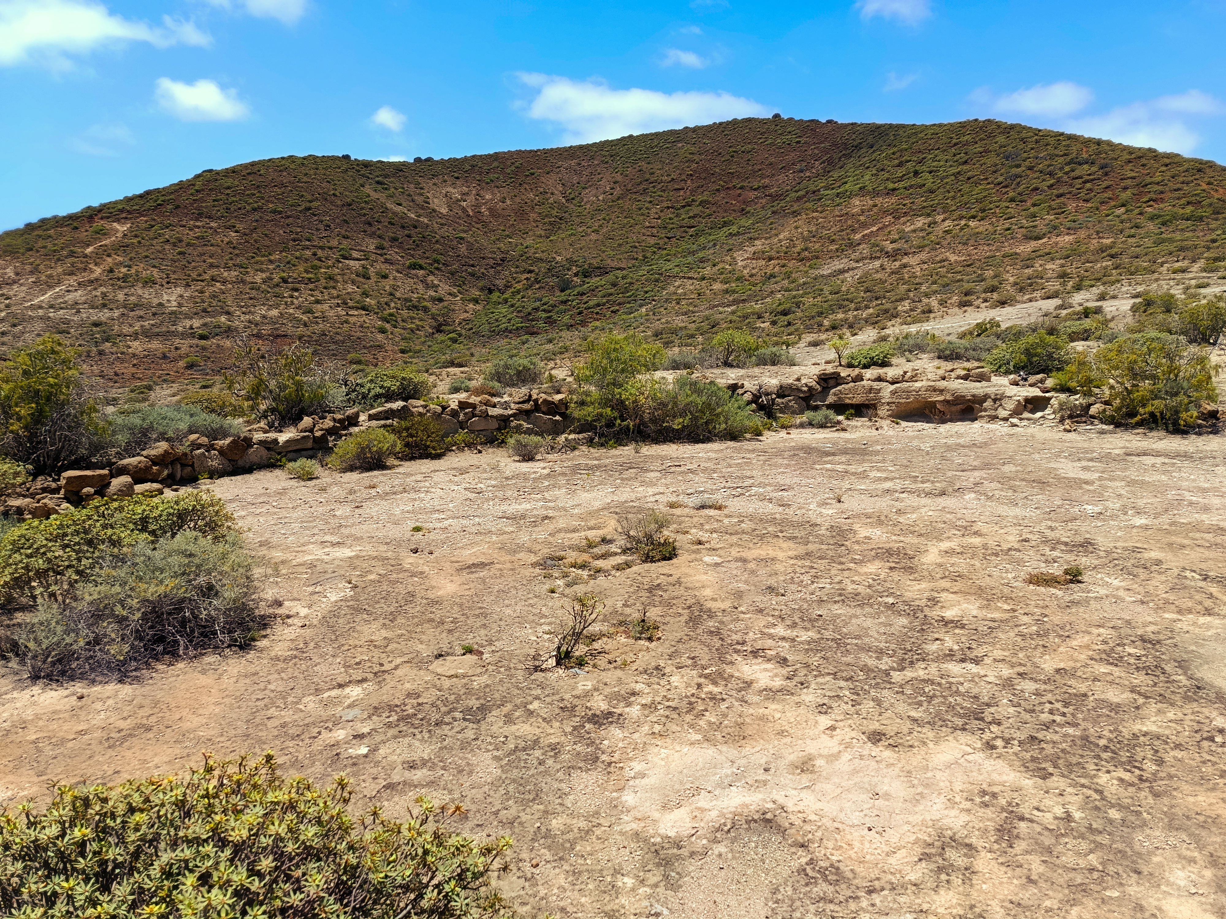
In the foreground rests an ancient stone threshing floor and, in the background, rises the caldera of Montaña de Ifara.
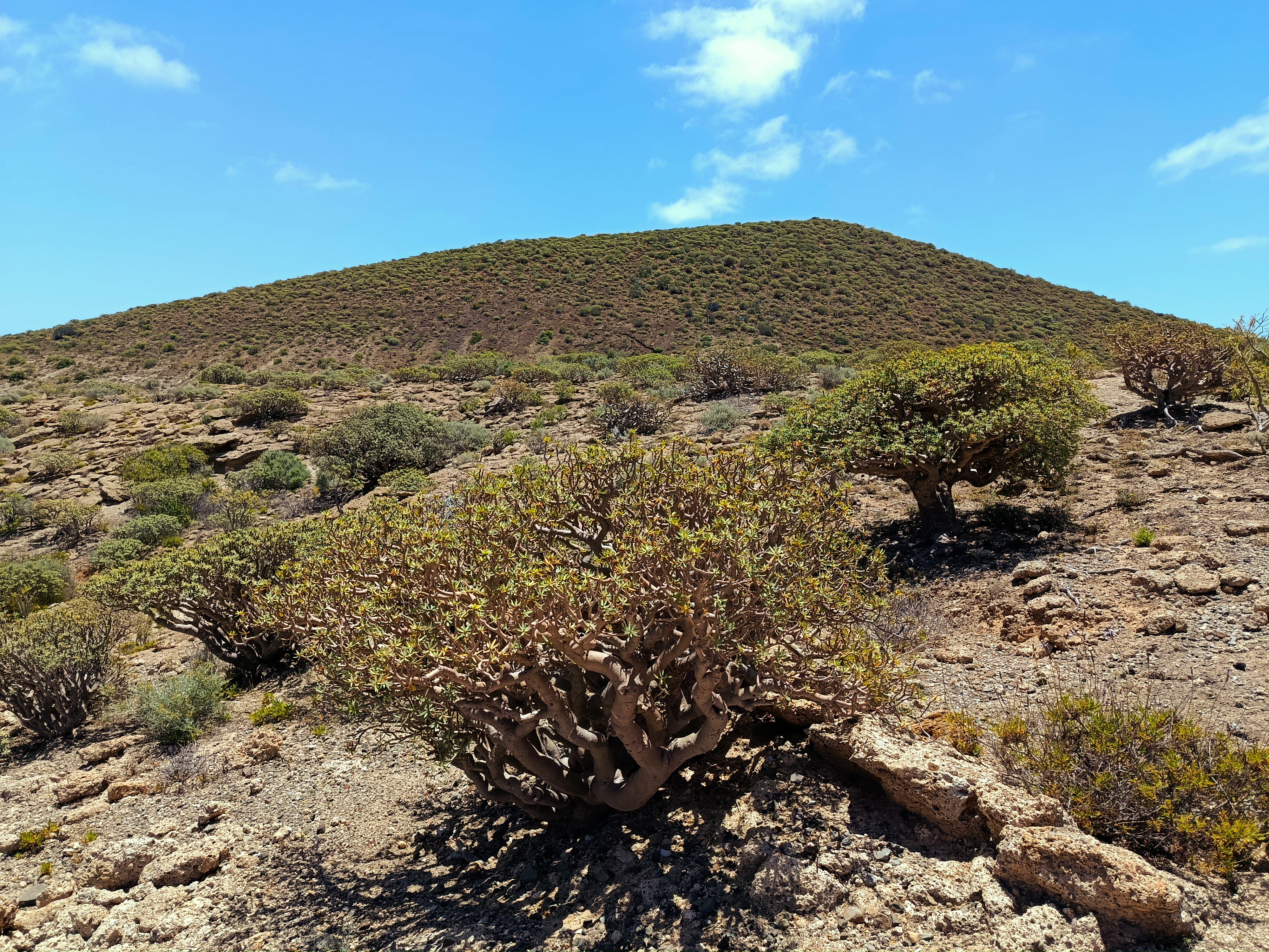
This spot offers postcard views: Guajara's summit dominates above, while below you can see Granadilla town, San Isidro and, between them, Montaña Gorda.
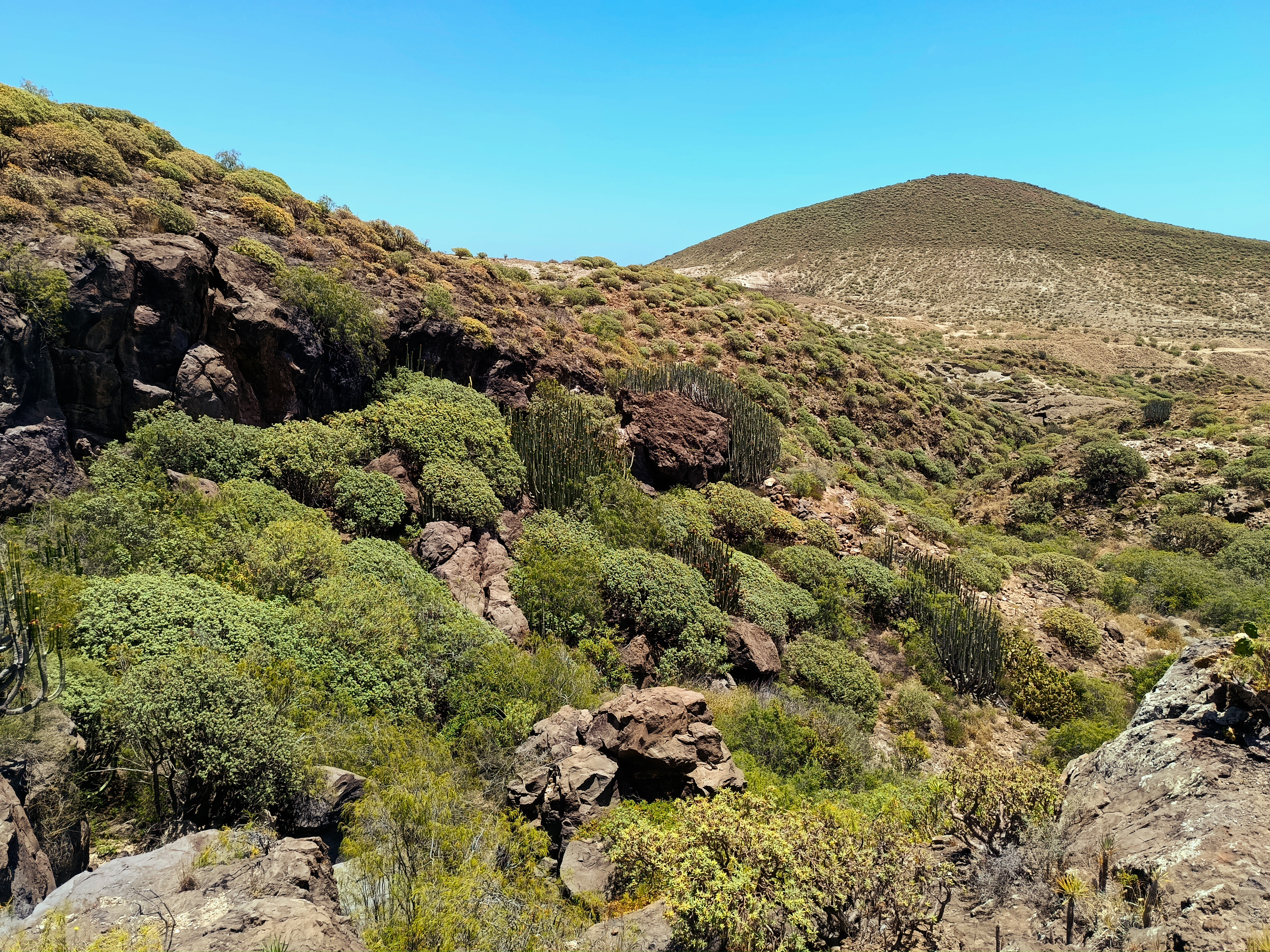
When you look into the Barranco de Ifara, you find a ravine that nature has made entirely its own, colonised by a living mix of balos, tabaibas and cardones that fill this arid southern corner with strength and green tones.
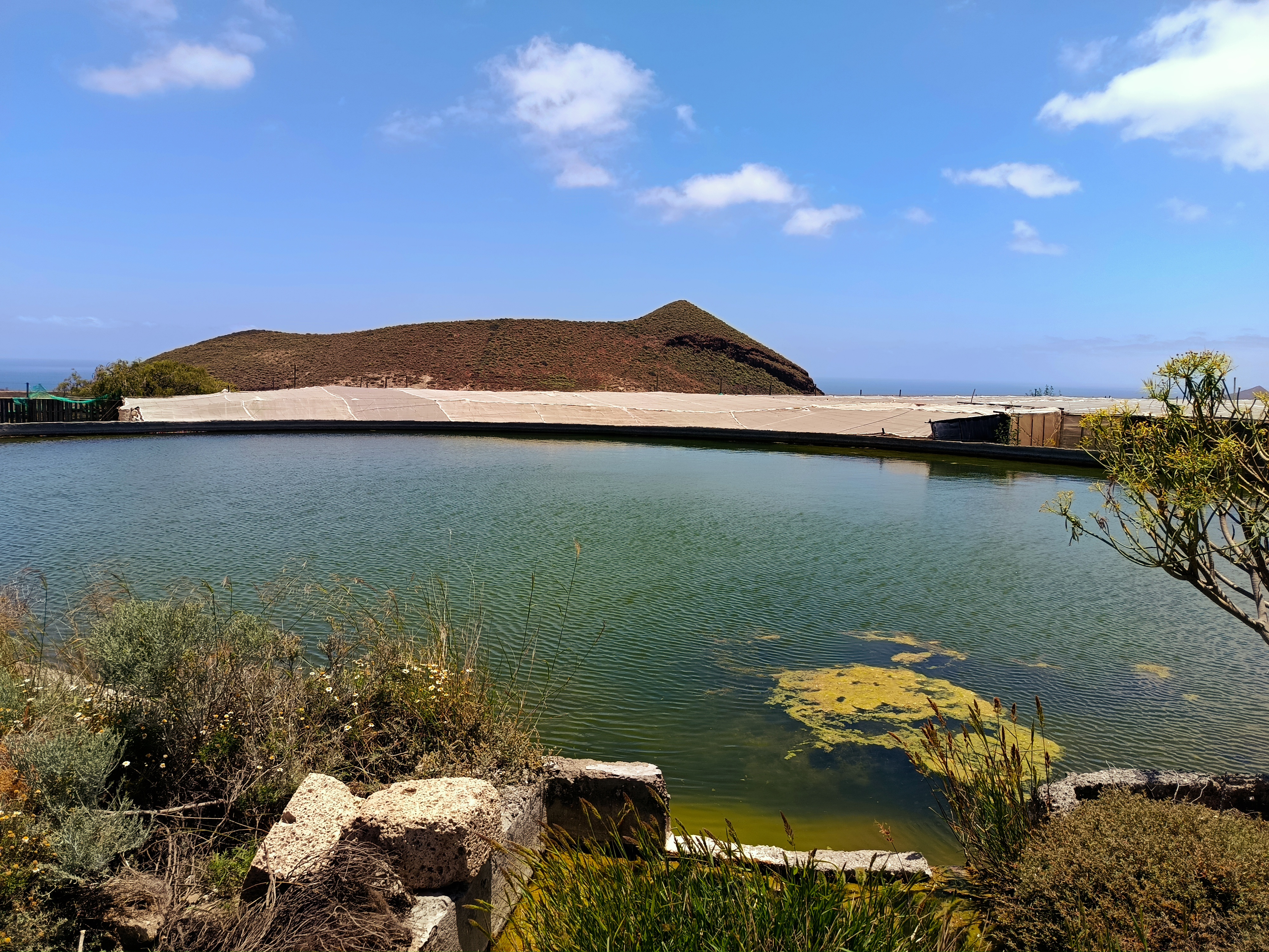
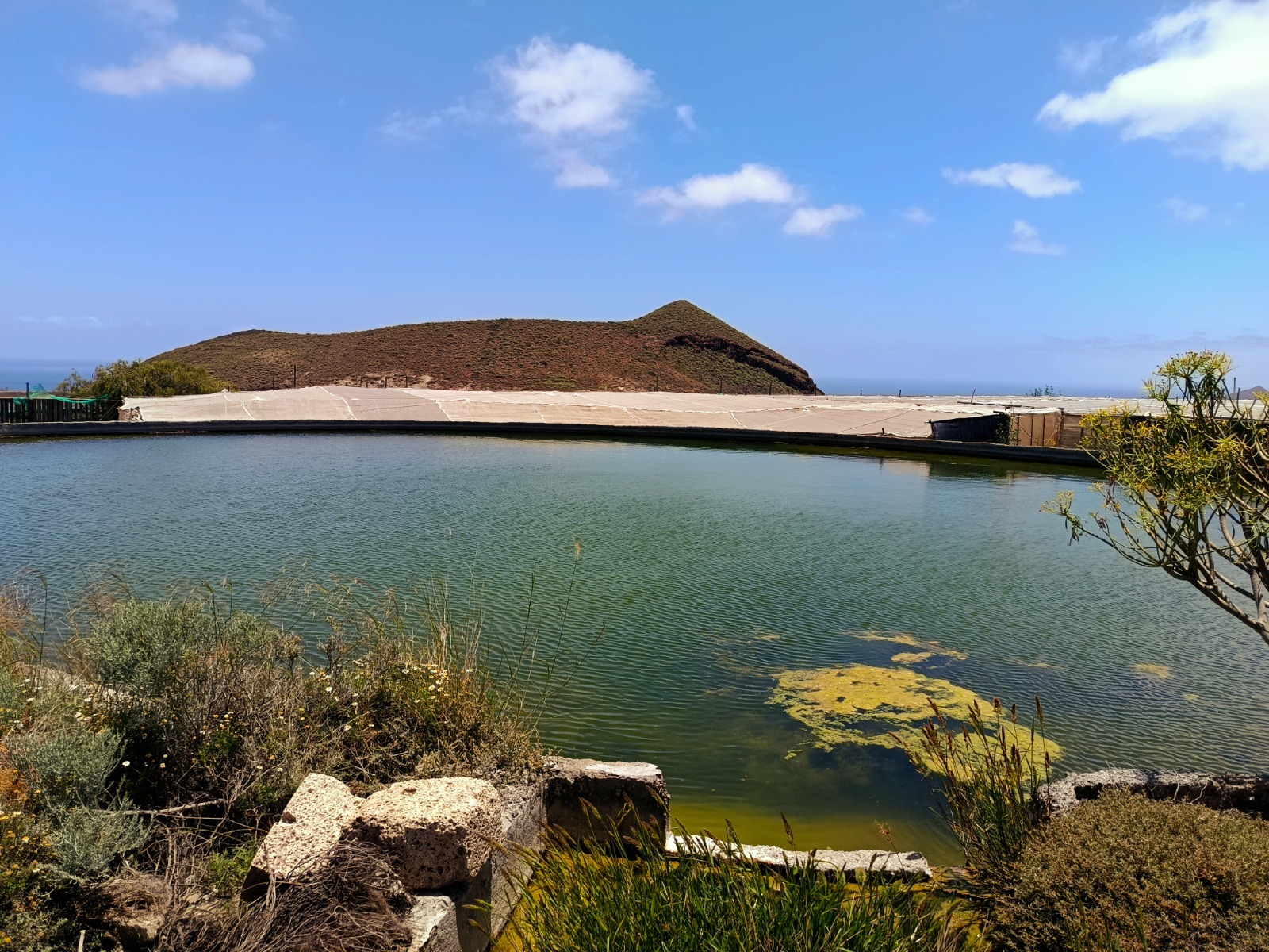
The surroundings change towards an area of orchards where crops grow on a mix of jable and soil, accompanied by greenhouses and classic water tanks that ensure irrigation under the southern sun.
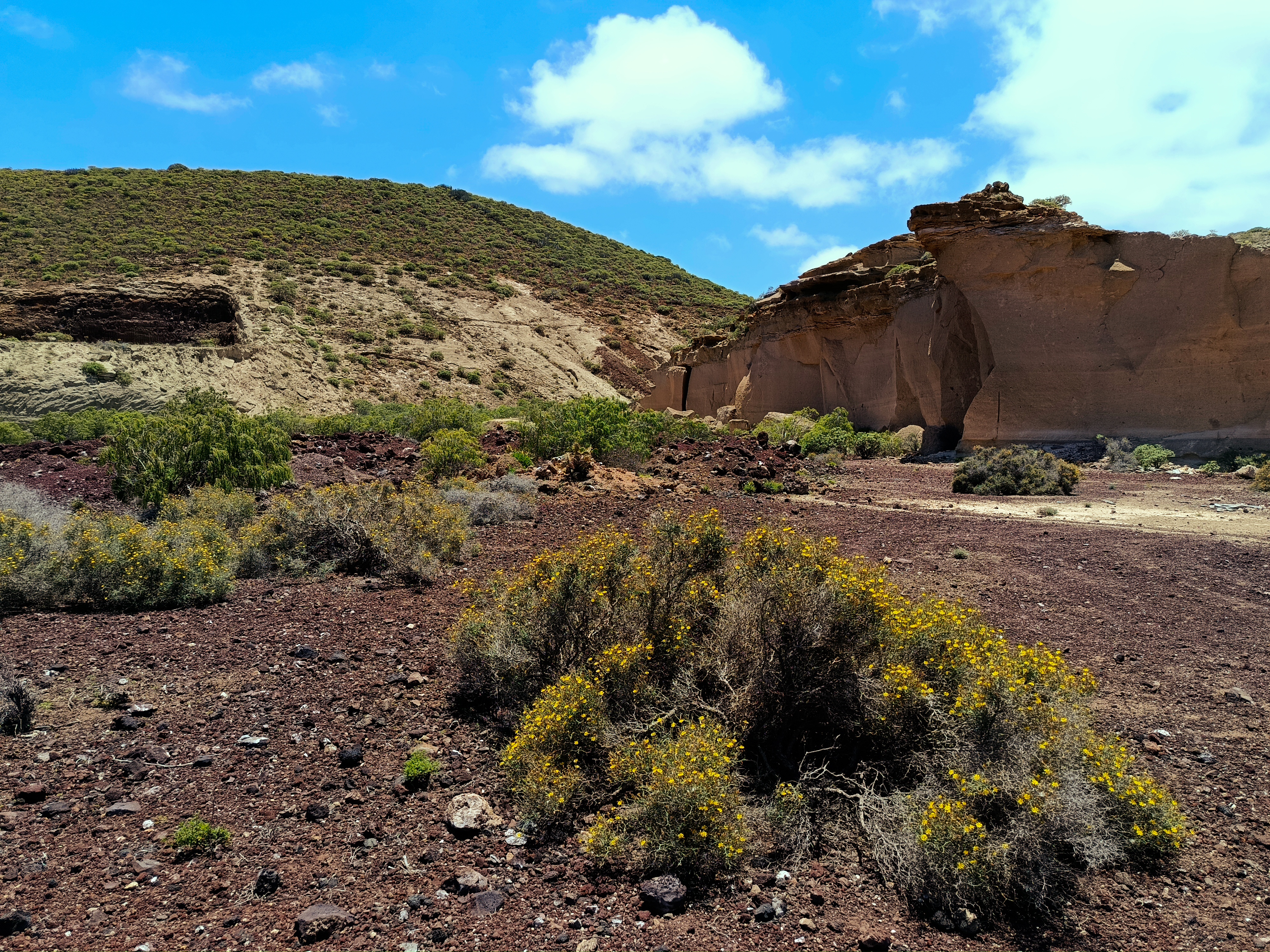
Passing Montaña de Los Riscos, we see ancient jable and picón quarries, exposing the volcanic earth that for so many years has been used for building and farming in the area.
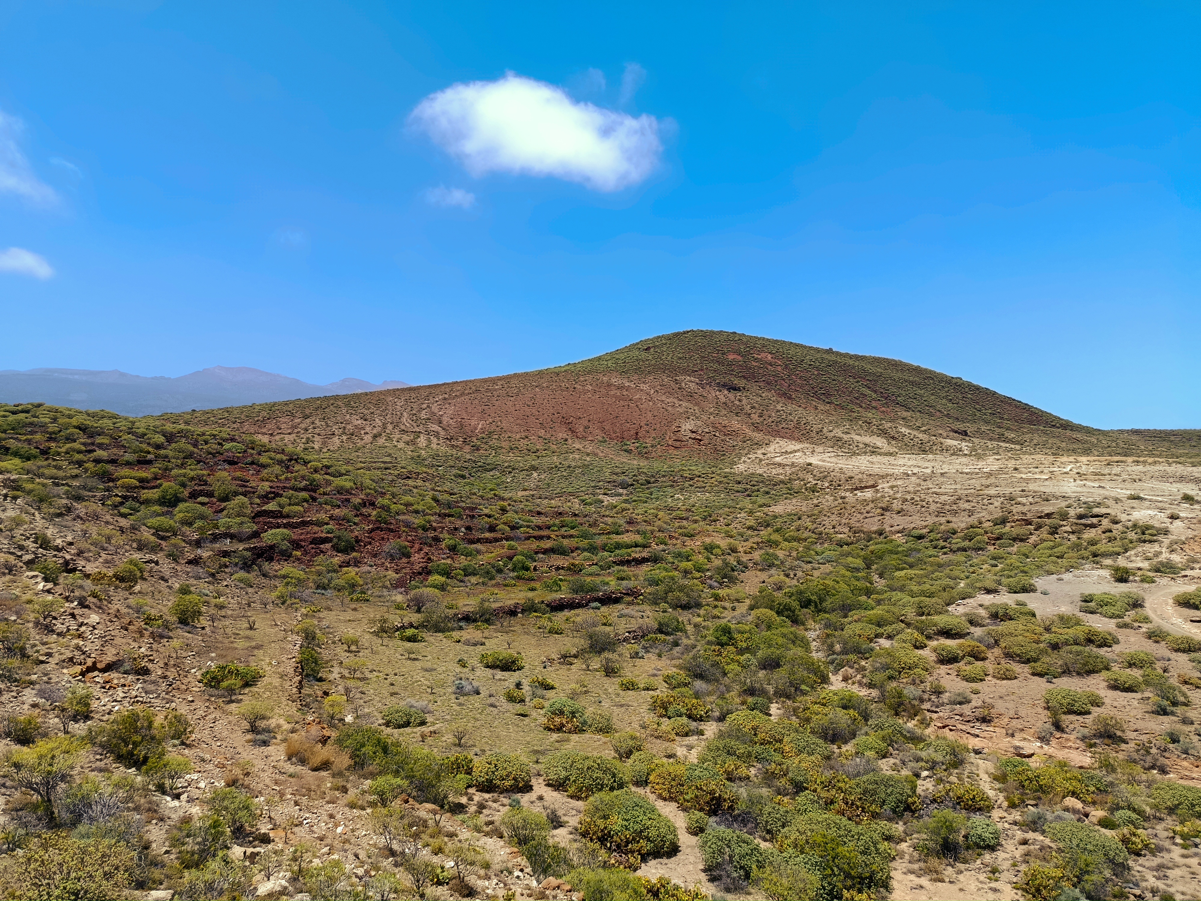
Below the path, old terraces and stone walls of abandoned farms that once served rain-fed cultivation.

Curious cave houses carved directly into the jable tuff, shelters excavated by hand in the rock itself.

This entire environment faithfully reflects jable culture in southern Tenerife, where this light tuff was cut into blocks to shape rural life, building everything from houses and walls to water channels and threshing floor edges.